Land Use Planning
Sample: Urban Land Use Planning Study
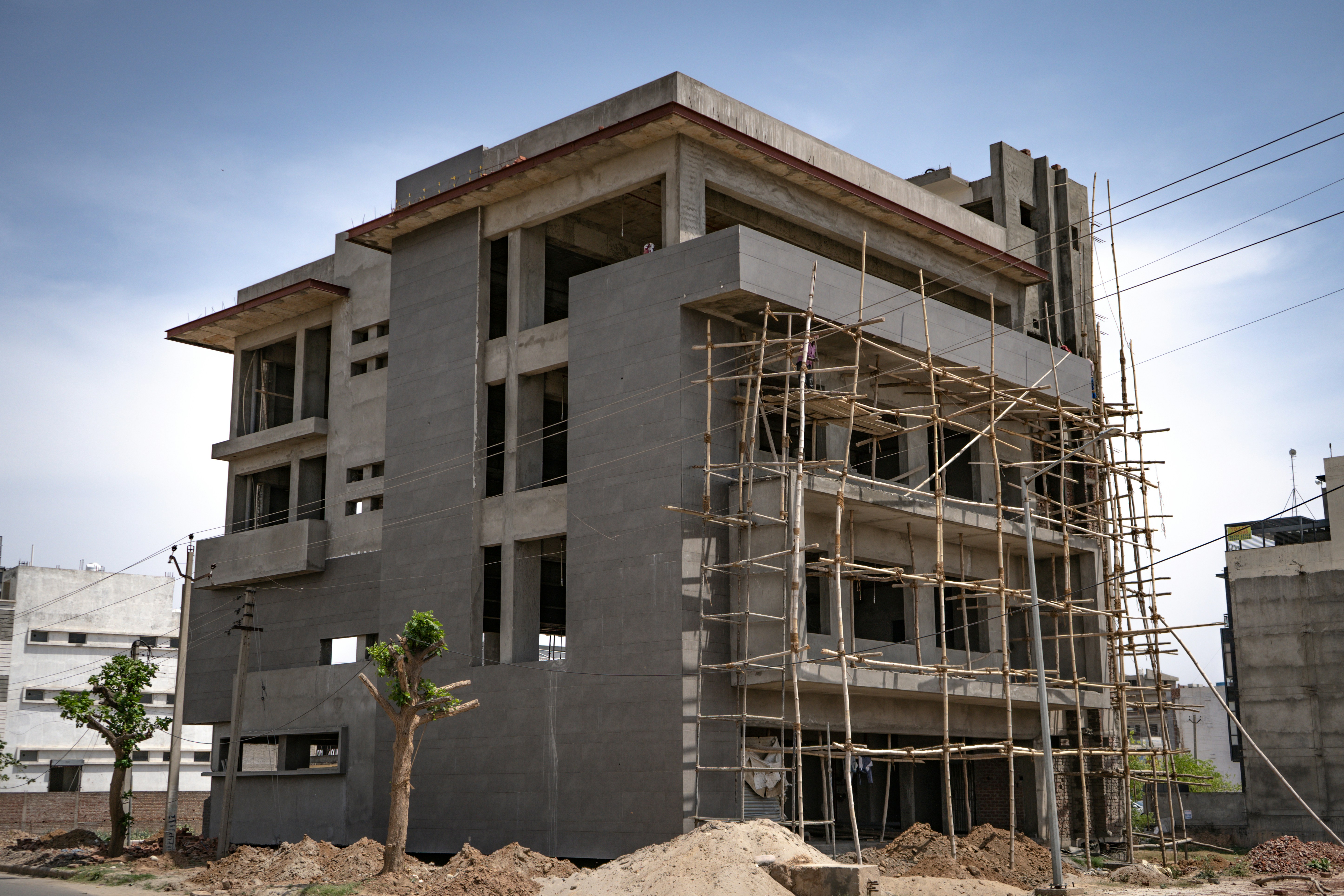
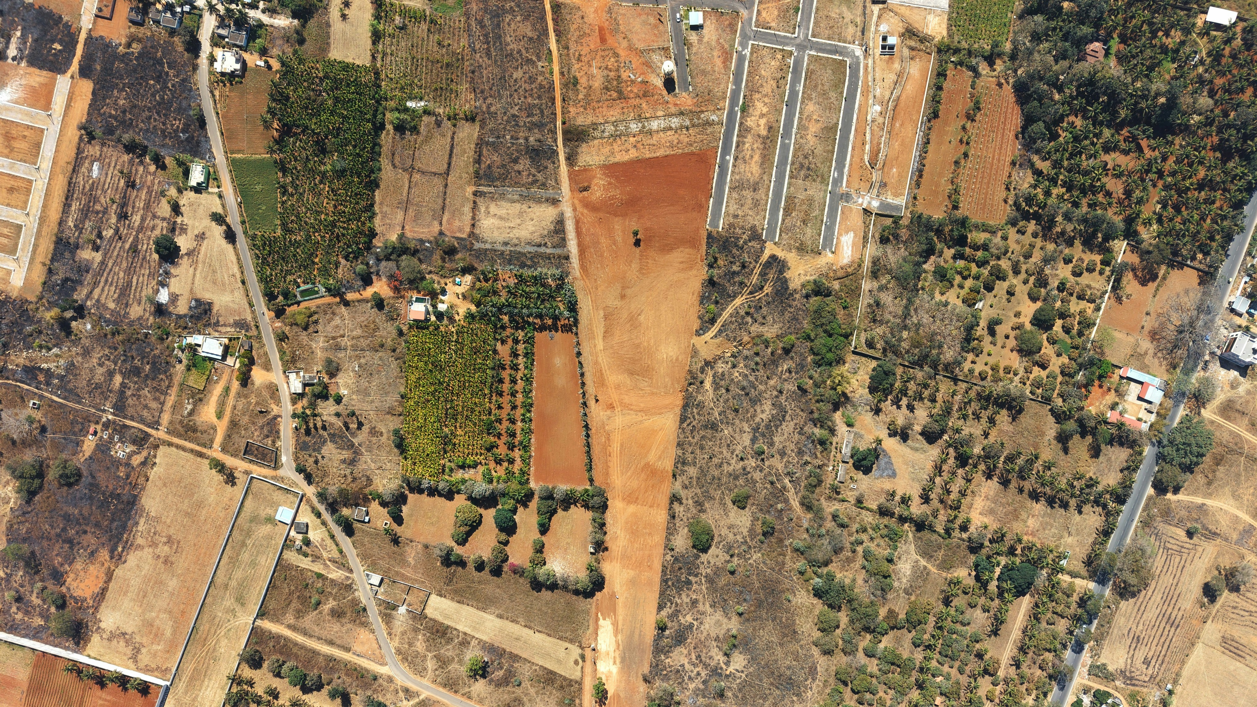
Illustrative planning assignment showing the format for an urban land use project.
Explore our projects by location or browse their details.
Illustrative planning assignment showing the format for an urban land use project.
Illustrative portfolio record for mapping, geospatial data preparation and suitability analysis.
Illustrative project demonstrating how land development advisory engagements can be presented.
Map layers use OpenStreetMap. Projects without locations may appear in list view only.