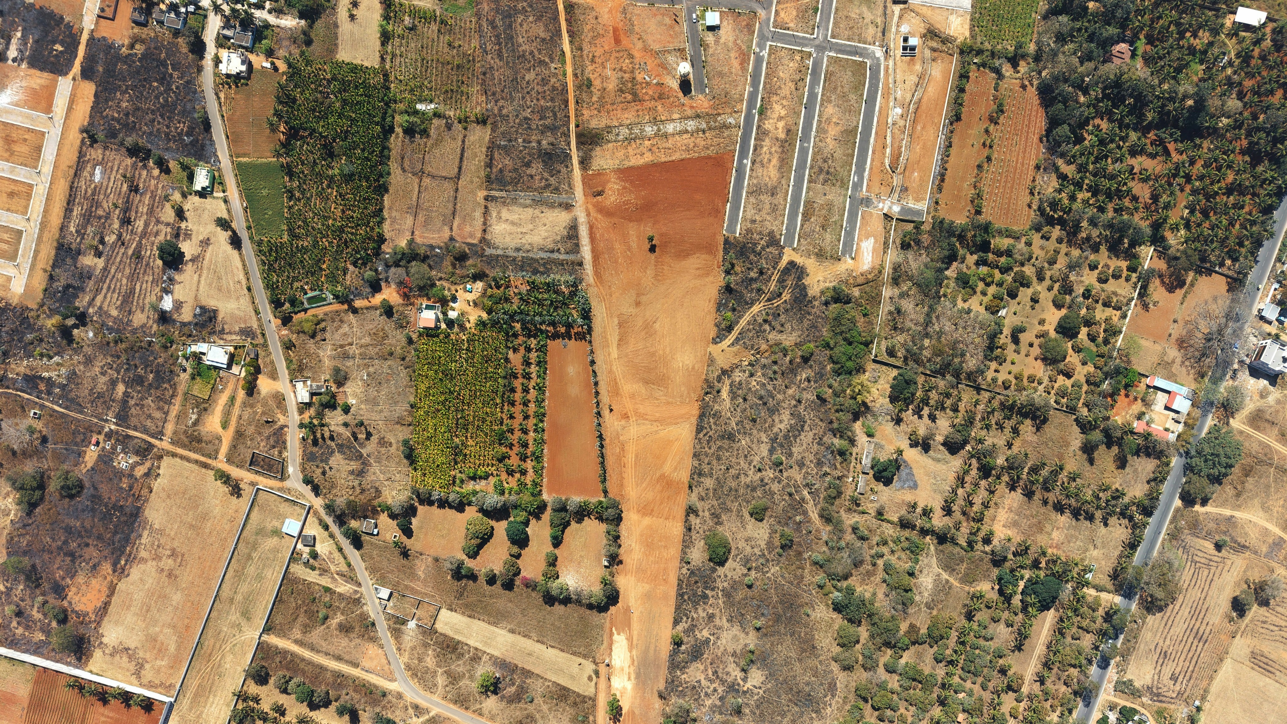
Land Use Planning
Sample: Urban Land Use Planning Study
Illustrative planning assignment showing the format for an urban land use project.
Integrated land use planning, development advisory and geospatial solutions.
We help transform spatial information into practical planning decisions — connecting people, land and opportunities for resilient development.
Learn more about our approachIllustrative planning assignment showing the format for an urban land use project.
Illustrative portfolio record for mapping, geospatial data preparation and suitability analysis.
Illustrative project demonstrating how land development advisory engagements can be presented.
Growing towns need more than individual building approvals. Discover how integrated land use planning connects housing, transport, infrastructure and environmental protection to guide practical, sustainable urban development in Kenya.
Read article →Subdivision involves more than drawing new plot boundaries. Understand the ownership checks, planning considerations, survey work and relevant approvals that help Kenyan landowners prepare a workable subdivision proposal and avoid preventable problems.
Read article →Spatial data helps planners understand changing landscapes and compare development options. Explore practical Kenyan applications of GIS and remote sensing, including site suitability, environmental monitoring, infrastructure planning and interactive decision support.
Read article →Talk to our team about your planning and geospatial needs.